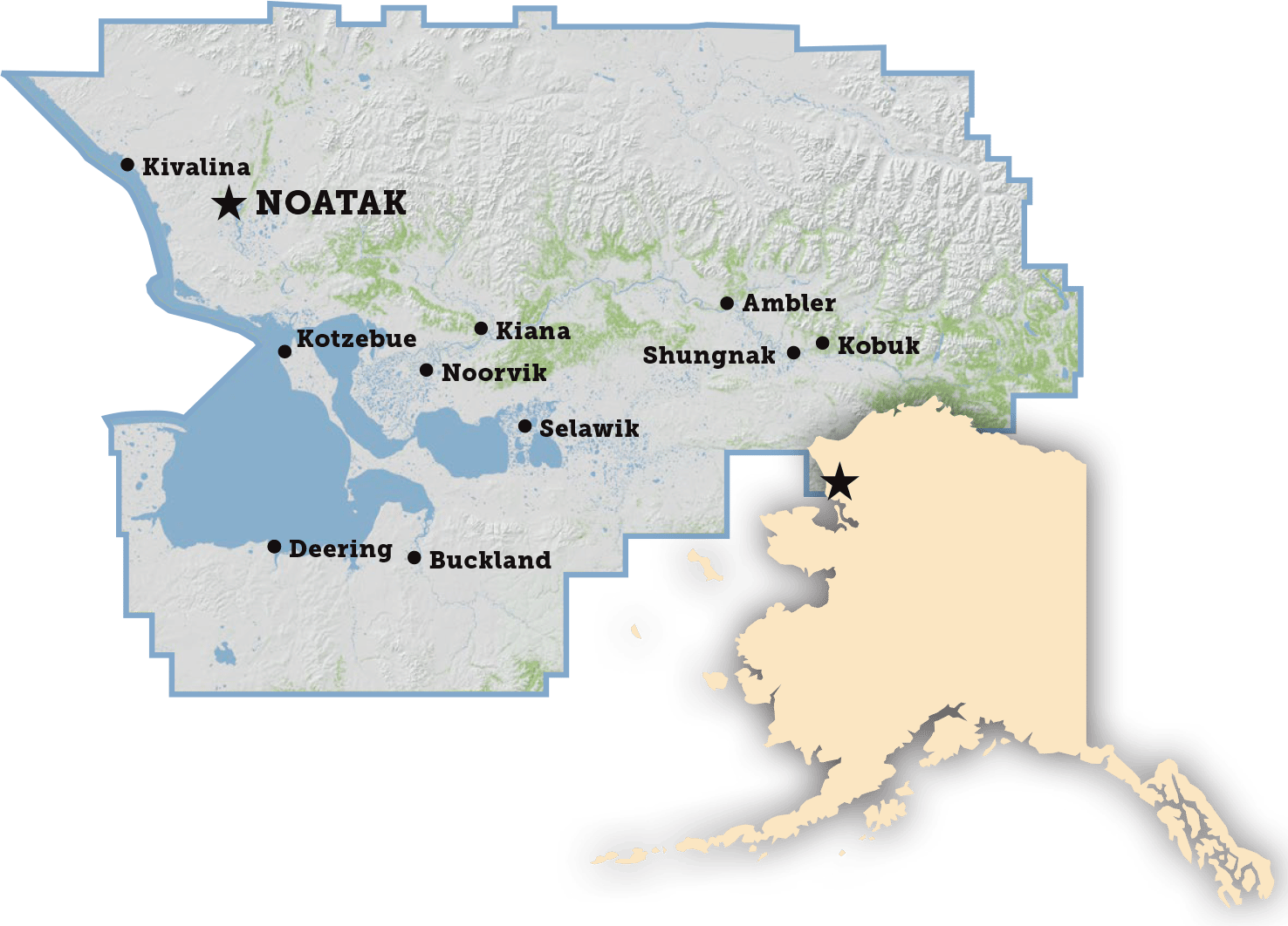
Noatak

Nautaaq
Aerial photograph of Noatak Village

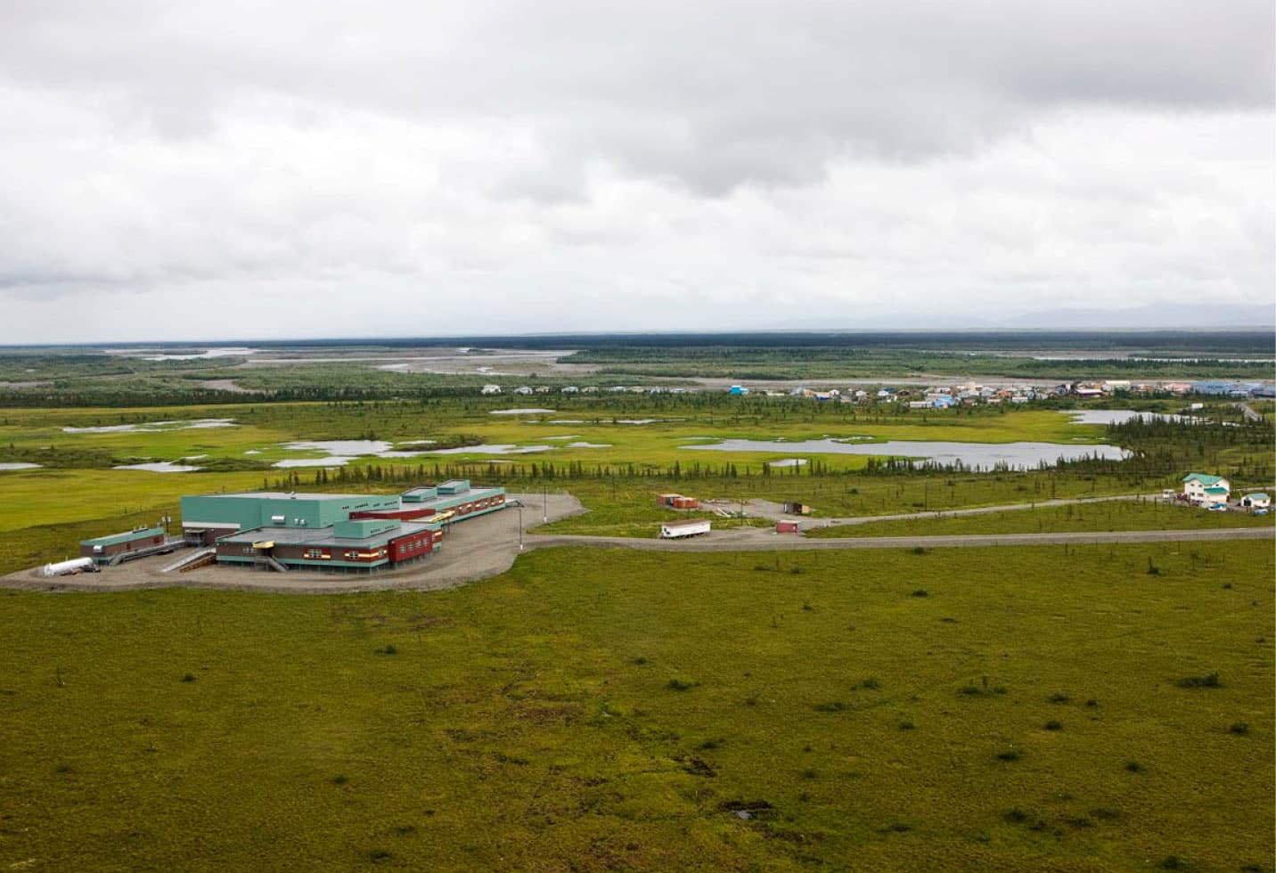
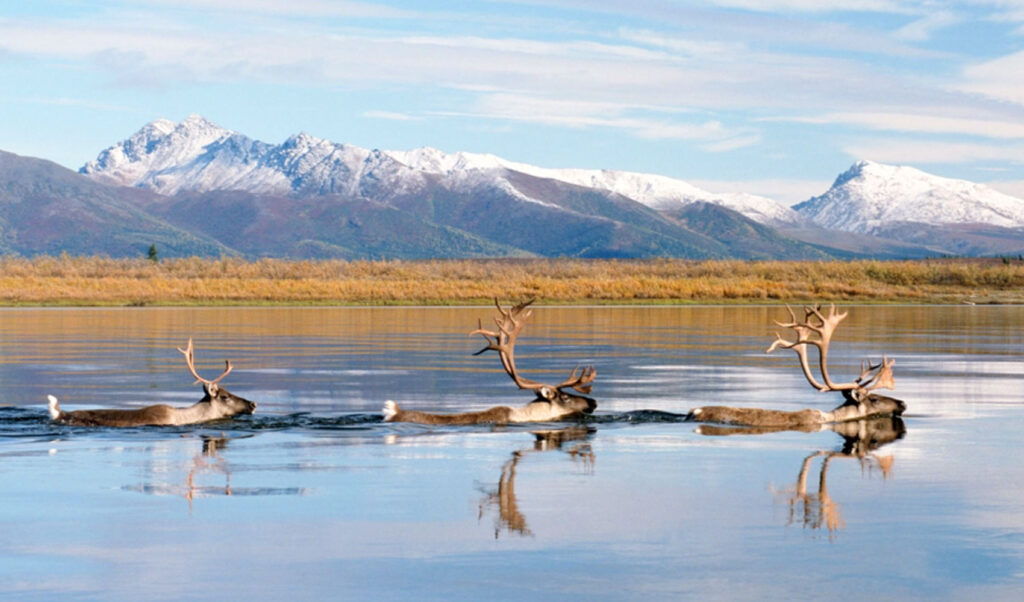
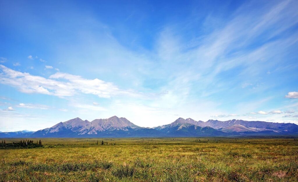
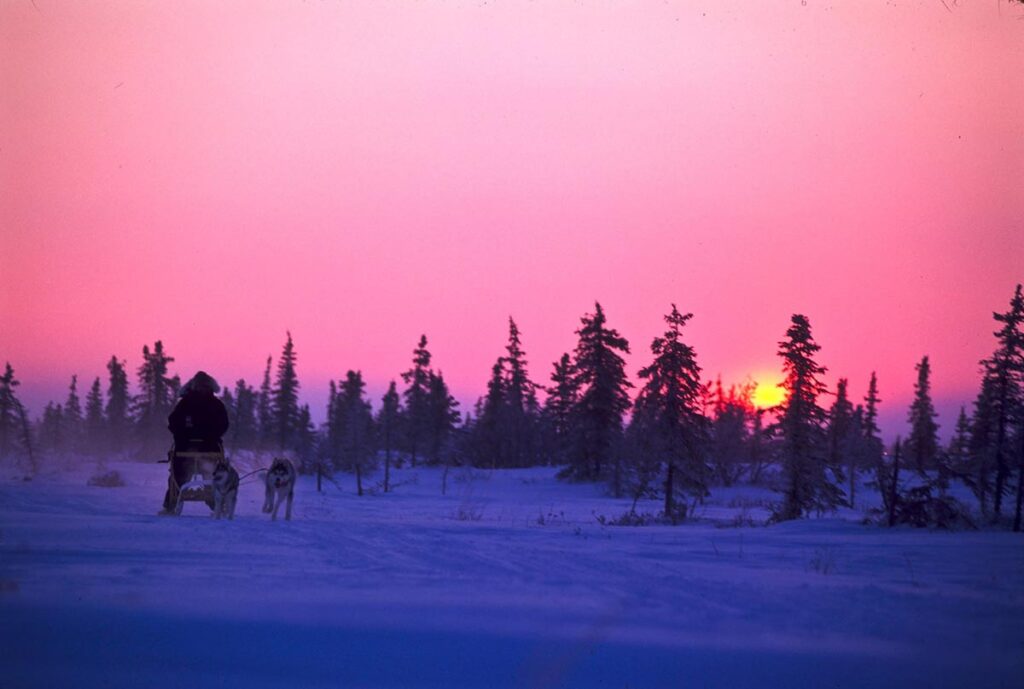
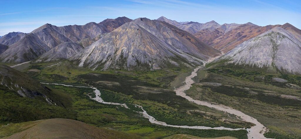
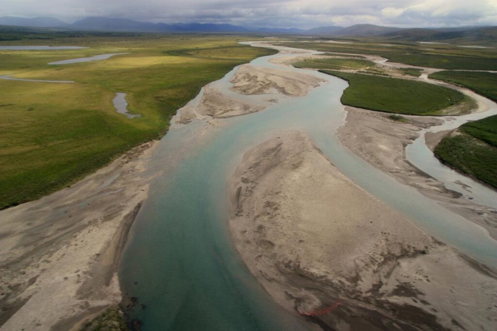
Noatak, located 70 miles north of the Arctic Circle and west of the Noatak National Preserve, is the only settlement along the Noatak River. In the early 19th century, Noatak was established as a hunting and fishing camp; subsistence activities remain central to the culture and economy today.

Noatak Village Map
Year Incorporated
Not Incorporated
Community Type
CDP
Federally Recognized Tribe
Native Village of Noatak
Population (2020)
570
Median Age (2016-2020)
26.4
Percent Alaska Native / American Indian alone or in combination (2016-2020)
95%
Average Household Size (2016-2020)
4.28
Fuel Cost (2022)
$13.77/gallon (Gasoline)
$13.77/gallon (Heating Oil)
Median Household Income (2016-2020)
$55,000
Denali Commission Distressed Community (2018)
Yes
Electric Utility
Alaska Village Electric Coop
Water System
Circ/Heated system
Wastewater System
Gravity
Landfill Class
III
Road Access
No
Air Access
Gravel Airport
Runway 1
3,992 ft x 60 ft
Dock/Port
No
Barge Access
None
Top Employers
Napaaqtugmiut School
20-49
Noatak Ira Main Office TPC
20-49
Noatak Native Village
10-19
Noatak Ira Main
10-19
US Federal Aviation Admin
10-19
Number of Active Business Licenses (2019)
8
Napaaqtugmiut School:
Grades
Pre K-12
Enrollment
147
Year Built
2008

BOROUGH ASSEMBLY MEMBERS

Delores Barr

Seat C - Kivalina, Noatak, Baird Mountains, Kiana, and Noorvik

Austin Swan, Sr.

Seat B- Kivalina, Noatak, Baird Mountains, Kiana & Noorvik
P.O. Box 50047 Kivalina, AK 99750

Elmer Armstrong Jr.

Seat A- Kivalina, Noatak, Baird Mountains, Kiana & Noorvik
P.O. Box 104 Noorvik, AK 99763

Map Facet