Buckland

Nunachiaq
Aerial photograph of Buckland Village

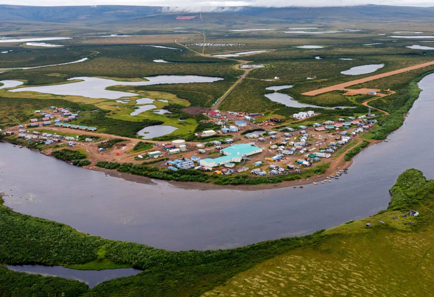
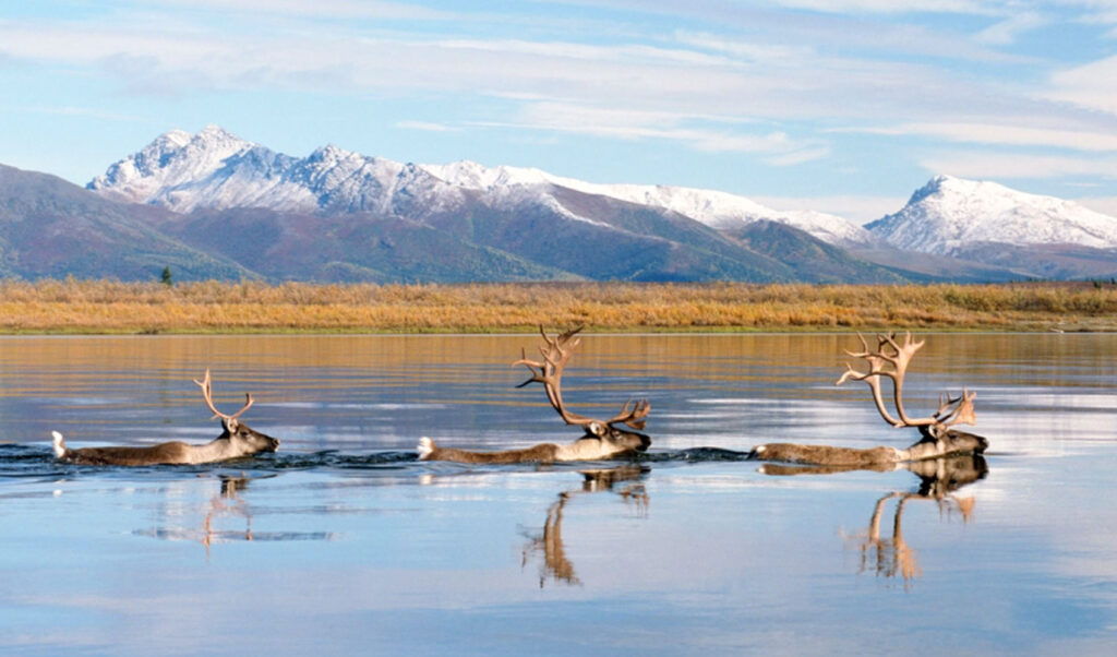
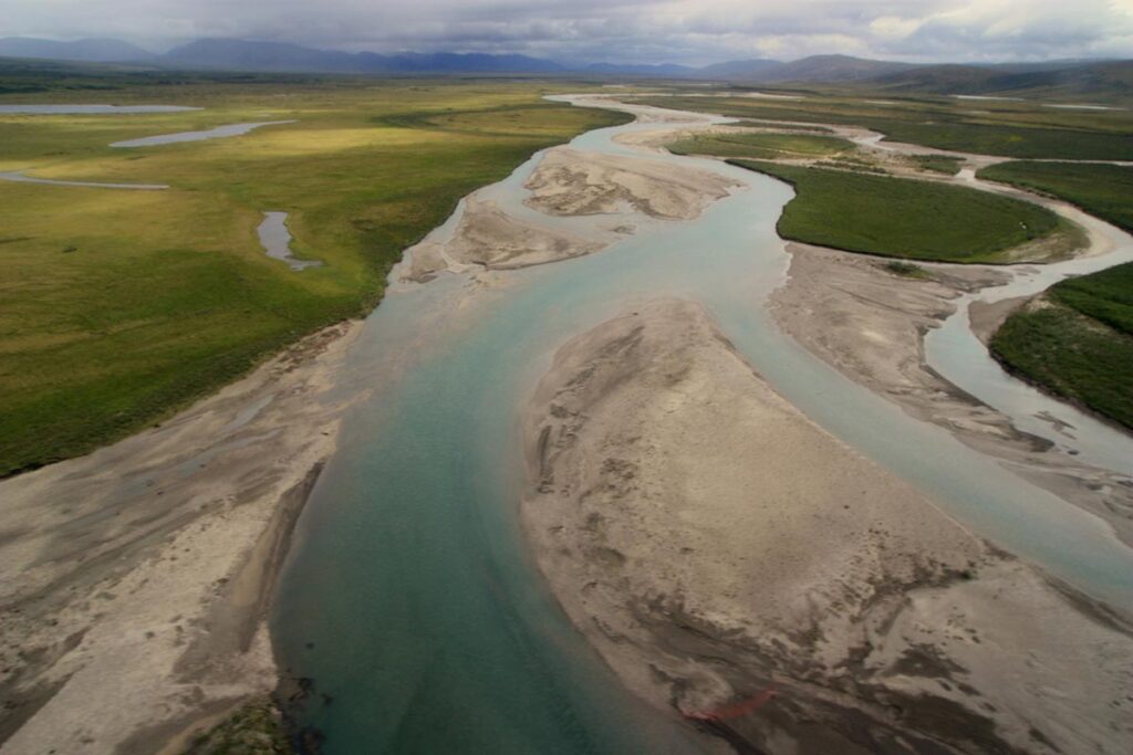
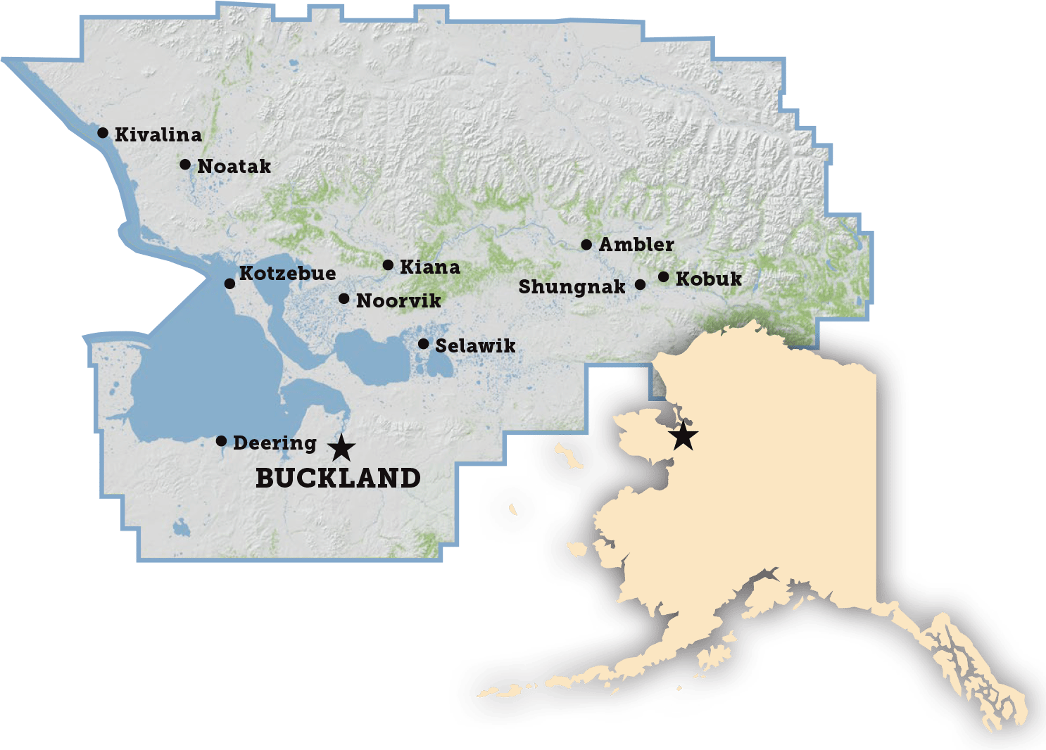
Located on the west bank of the Buckland River, Buckland is 75 miles southeast of Kotzebue. Residents have occupied at least five other sites along the river; the presence of fossils indicate prehistoric occupation of the area. Buckland is an Iñupiat village, and subsistence is an important part of the local economy.

Buckland Village Map
Year Incorporated
1971
Community Type
2nd Class City
Federally Recognized Tribe
Native Village of Buckland
Population (2020)
550
Median Age (2016-2020)
23
Percent Alaska Native / American Indian alone or in combination (2016-2020)
98%
Average Household Size (2016-2020)
4.26
Fuel Cost (2022)
$7.65/gallon (Gasoline)
$7.66/gallon (Heating Oil)
Median Household Income (2016-2020)
$49,063
Denali Commission Distressed Community (2018)
Yes
Electric Utility
Alaska Village Electric Corporation
Water System
Haul, Washeteria
Wastewater System
Haul
Landfill Class
III
Road Access
No
Air Access
Gravel Airport
Runway 1
3,200 ft x 75 ft
Barge Access
Seasonal
Top Employers
Buckland School
20-49
Buckland Clinic
5-9
Maniilaq Association
5-9
Buckland IRA Council
5-9
City Office
5-9
Number of Active Business Licenses (2019)
9
Buckland School:
Grades
Pre K-12
Enrollment
198
Year Built
2004

BOROUGH ASSEMBLY MEMBERS

Nathan Hadley, Jr.

President - Seat F - Buckland/Deering
P.O. Box 83 Buckland, AK 99727

Raven Sheldon

Seat E- Selawik, Buckland, Deering

Map Facet