Program Overview
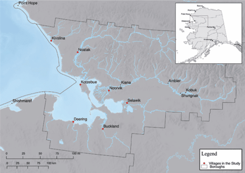
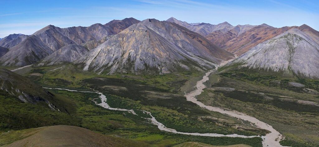
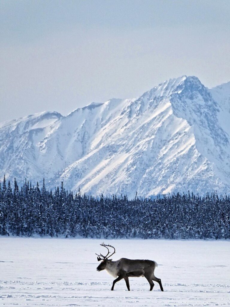
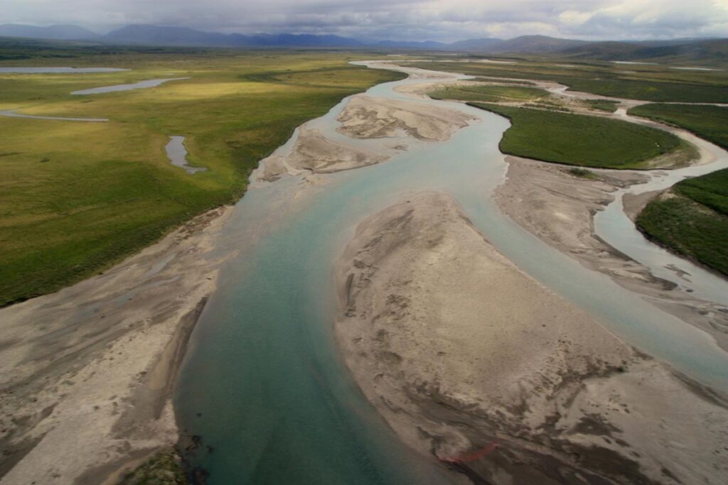
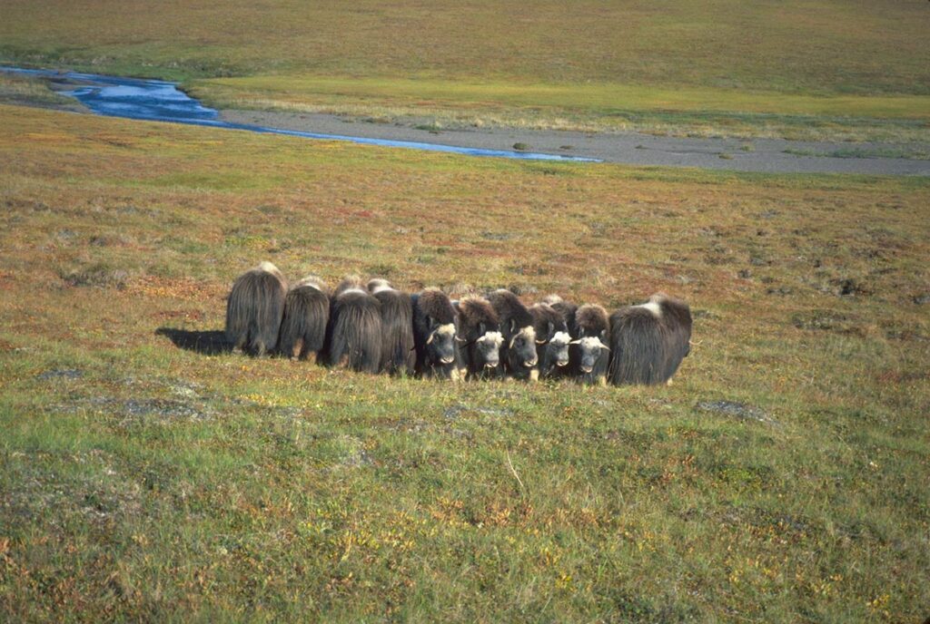
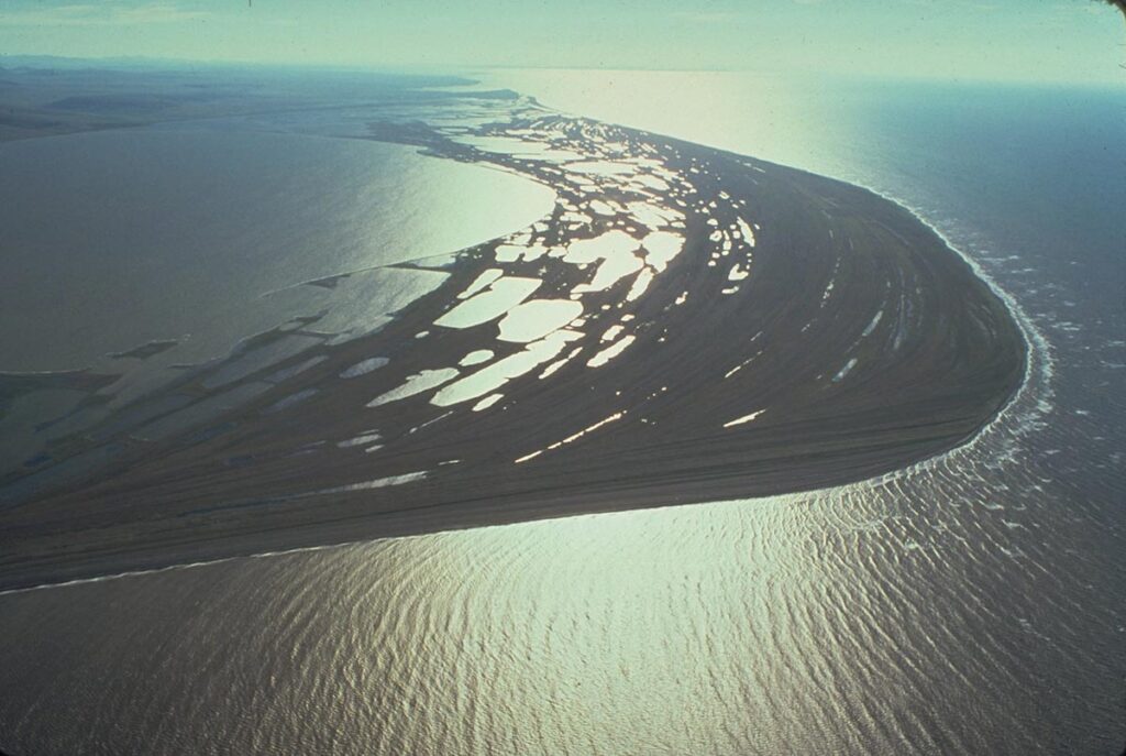
The Northwest Arctic Borough Subsistence Mapping Project documents local traditional knowledge and scientific information depicting subsistence use (where people hunt, fish, and gather by season) and important ecological areas (where animals feed, breed, raise young, and migrate by season) surrounding the communities of Kivalina, Noatak, Selawik, Noorvik, Deering, Buckland, and Kotzebue. The purpose of the project was to produce updated and scientifically defensible maps showing subsistence use and important ecological areas surrounding the Borough’s coastal communities for use in land use planning and commenting on federal plans, including but not limited to, offshore oil exploration and oil spill response.
The people of the Northwest Arctic Borough drove the subsistence mapping project. Protocols were developed to protect local traditional knowledge. Project methods combined local traditional knowledge and formal science to map subsistence use and important ecological areas.
The project methods included:
- compiling existing scientific information on subsistence;
- protecting local traditional knowledge;
- documenting local traditional knowledge;
- checking results using local traditional knowledge;
- checking results using formal science;
- mapping existing permits and publicly known resource development areas;
- mapping results to support planning and comments on federal plans
Traditional hunting, fishing, and gathering: “Deeply entrenched in the mind, heart, and spirit”
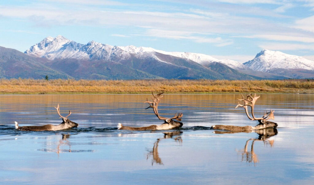
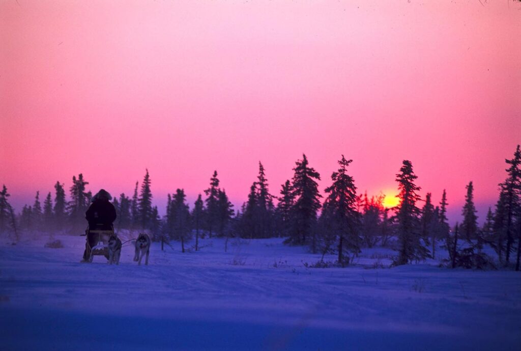
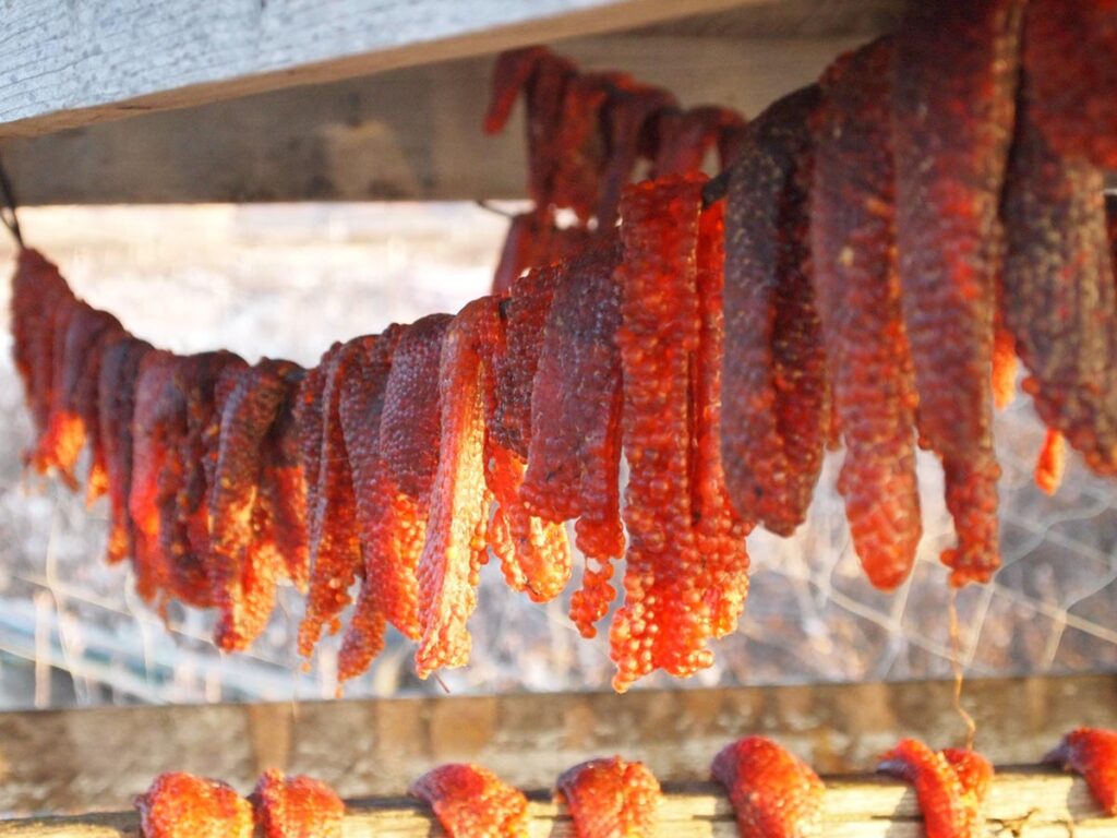
The people native to Alaska’s northern regions have been finding, gathering, and eating food from the land and water around them for longer than anyone can remember. The acts of going out to get food, of cutting it up, preserving and sharing it, and eating it embody the spiritual, ethical, and organizing principles of northern cultures.
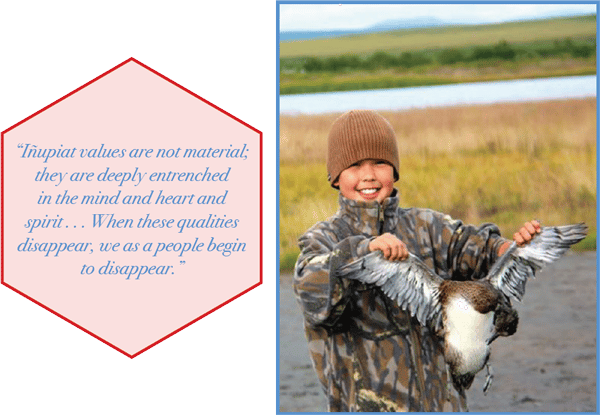
This atlas maps the locations local people in the Borough’s seven westernmost villages told researchers they go to get food. But the story told here is about culture, in that word’s most encompassing sense. The areas identified in this atlas are not just important to Iñupiat bellies but to Iñupiat Iłitqusiat ̣ —”The Iñupiat Spirit” described by Willie Iġġiaġruk Hensley as “the bonds of language, shared cultural ties, and common understanding of geography and flora and fauna . . . –still defining qualities of our people.” When encountering the word “subsistence” in this atlas, are invited to keep in mind Iġġiaġruk’s words: “Iñupiat values are not material; they are deeply entrenched in the mind and heart and spirit . . . When these qualities disappear, we as a people begin to disappear.
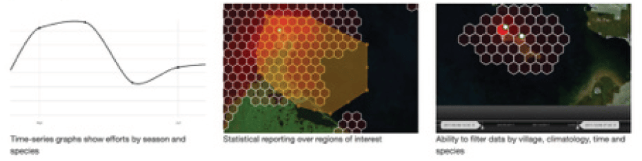
Mapped information is aggregated, or grouped, so the activity of an individual cannot be seen. This technique is called heat mapping, where a darker color on a map shows a higher intensity of subsistence use. This technique has been used successfully by the Northwest Arctic Borough for land use planning at Red Dog while not creating “treasure maps” that accidentally show sensitive information. The maps were checked in each participating community. After conducting the interviews each person was asked for permission to use their information in the atlas.
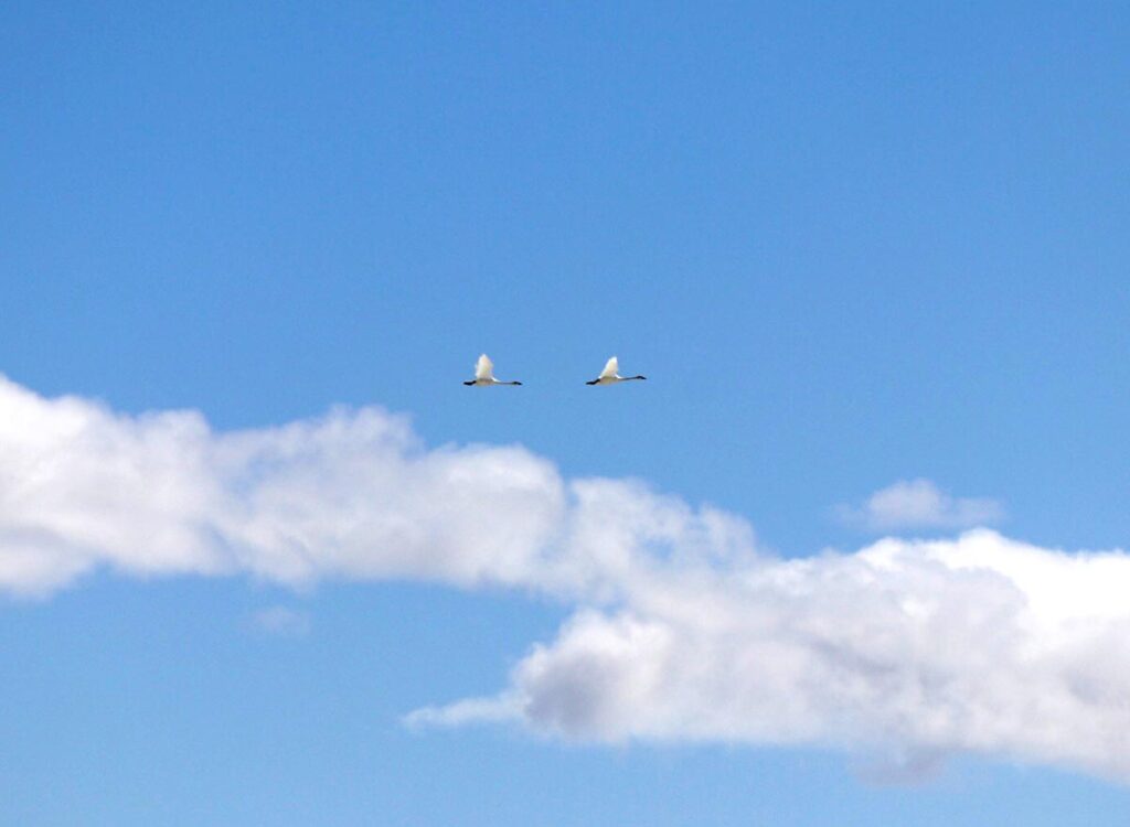
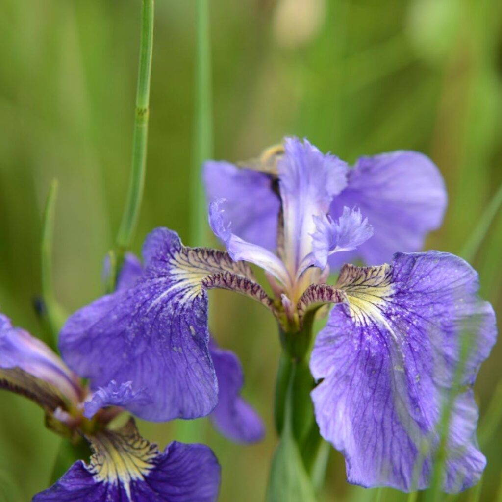
This atlas has been designed to be viewed and referred to by a diverse audience of village residents, tribal and local, state, national, and international government policymakers, scientists, activists, and businesspeople. The purpose of this project is to produce an atlas of accurate maps showing where people in the Borough hunt, fish, and gather today and in what places the mammals, birds, and fish, and the organisms they need to thrive, can be found.
We hope this atlas, the product of a collaborative effort involving a variety of researchers and residents over many years, will be read and referred to by many people in the years to come. Whether viewed by an elder in Buckland or clicked onto the computer screen of an oil company executive in Houston, it is our wish that all who access this atlas will find the Iñupiaq way of life reflected accurately here and make use of the compiled information to help protect it.
AIKUULAPIAQ to the participating communities
- Kivalina
- Noatak
- Kotzebue
- Deering
- Buckland
- Noorvik
- Kiana
- Selawik